Search


Augmented Reality of a Lost Jewish Land: Mapping Ararat
10 Jun2013
In September 1825, Major Mordecai Noah founded Ararat, “a city of refuge for the Jews†on Grand Island, New York. This turned out to be the first of many unrealized projects in modern history that sought to carve out a nation for the Jewish people. Mapping Ararat offers the user/participant the tools to imagine an alternative historical outcome for Noah’s Ararat and to navigate through an imaginary Jewish homeland.
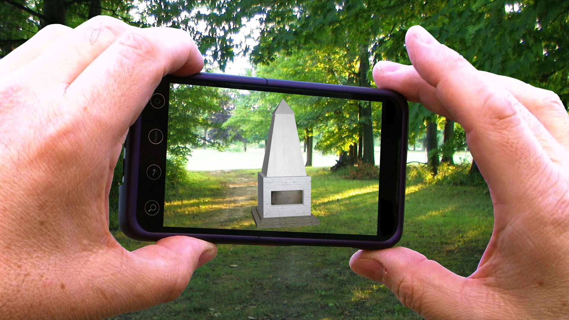
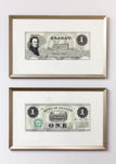
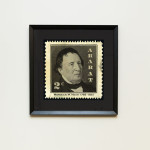
Utilizing cutting-edge digital media technologies such as augmented reality, this project gives Ararat a virtual chance to become the Jewish homeland that its founder had envisioned over one hundred eighty years ago. The project consists of an on-site augmented reality walking tour that haunts the contemporary landscape of Grand Island. In addition, Mapping Ararat generates the vernacular artifacts common to all modern nation-states whether money, postcards or stamps.
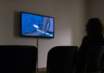
The exhibition Mapping Ararat: Globally Positioned Sites brings the onsite augmented reality walking tour to the gallery in the form of a video. The exhibition also includes a sampling of Ararat tourist screenshots taken from site visits as well as examples of vernacular cultural artifacts. In addition, the Mapping Ararat Team has placed two augments on the University of Toronto campus as demos.
The exhibition premiered at the University of Toronto and is looking to travel to New York. For further information please visit: www.mappingararat.com
Mapping Ararat from Mapping Ararat on Vimeo.


- In: Exhibition Reviews
- Tags: Canada, Digital Art, Videos